6.C.7

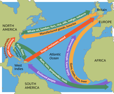
Understanding Triangular Trade Using the Historical Atlantic Ocean Giant Map

Click on the image above to open the lesson. It will open as a Google Doc.

Description: This interactive and engaging lesson allows students to explore the cultural and physical geography that led to Triangular Trade. Students learn about what items were traded and where they originated from as well as how ocean currents and trade winds influenced the routes taken by ships. The lesson is adapted from “The Global Economy” by the Colonial Williamsburg Foundation. Click or tap on the image to access the lesson.

Grade level (s): 5-8 grade, can be adapted for higher or lower grade levels

Standards: OAS

Produced by : Amy Williams
Using the Pacific Ocean Giant Map to Understand Physical Features - Updated 2026

Click on the image above to open the lesson. It will open as a Google Doc.

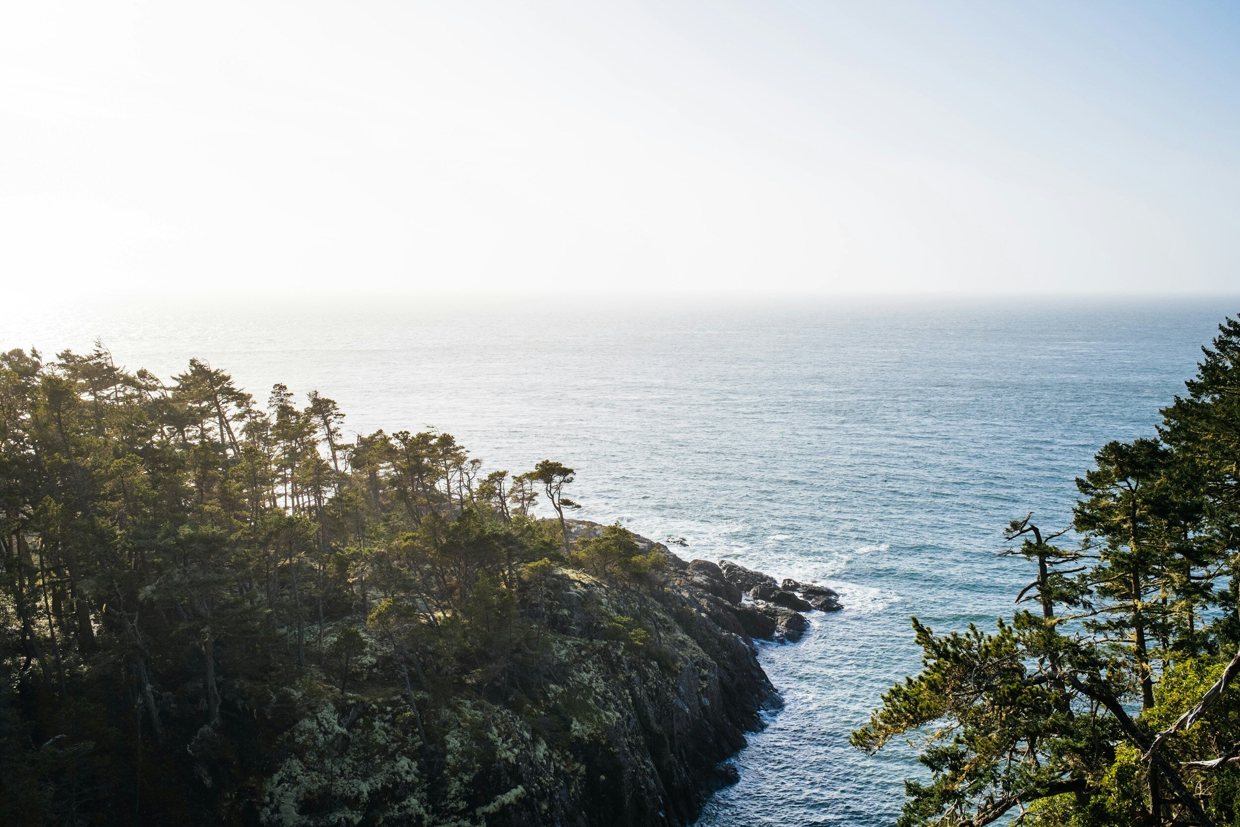
Description: This is an interactive and engaging lesson designed to provide students with an understanding of the physical geography of the Pacific Ocean and the effects of various environmental phenomena. The lesson involves reading, researching, and interacting with the map to demonstrate understanding.

This lesson is designed to use the Giant Traveling Map of the Pacific Ocean to help students contextualize the physical features of the region.

This lesson is aligned with both National Geography Standards and Oklahoma Academic Standards, ensuring that it is not only educationally relevant but also beneficial for students. The activity provides a practical application of these standards, allowing students to see the relevance of what they are learning and how it applies to the real world. Please note this lesson may be adapted for use with digital or desktop-sized maps if the Pacific Ocean Giant Map is unavailable.

Grade level(s): Middle
Standards: OAS, GFL
Produced By: Grace Gierach