7.C.3

Location Name Changes in Asia - Updated 2026

Click on the image above to open the lesson. It will open as a Google Doc.

Description: In this lesson, students will investigate name changes of locations in Asia. They will be able to understand why location names change and apply this knowledge to current events and issues. They will be able to identify locations on a map and use geographic tools to analyze geographic data.

Grade level(s): Middle School

Standards: OAS

Produced By: Amy Williams

Using the Europe Giant Map to Plan a Backpacking Journey - Updated 2026

Click on the image above to open the lesson. It will open as a Google Doc.

Description: This is an interactive and engaging lesson designed to provide students with a comprehensive understanding of the European Union, the cultural touchstone of backpacking, and the geographical layout of European cities. The lesson involves reading, researching, and planning a backpacking journey through Europe. It is a hands-on activity that encourages students to apply their knowledge of geography, culture, and history to create a unique travel itinerary.

The rationale behind this lesson is to foster a deeper understanding of the interconnectedness of our world, particularly within the context of the European Union. By planning a backpacking journey, students will gain insights into the geographical, cultural, and historical diversity of Europe. They will also develop critical thinking and teamwork skills along with geographic awareness. This activity is designed to make learning geography an engaging and interactive experience, moving beyond rote memorization to application and analysis.

This lesson is aligned with both National Geography Standards and Oklahoma Academic Standards, ensuring that it is not only educationally relevant but also beneficial for students. The activity provides a practical application of these standards, allowing students to see the relevance of what they are learning and how it applies to the real world. Please note this lesson may be adapted for use with digital or desktop-sized maps if the Europe Giant Map is unavailable.

Grade level(s): Middle
Standards: OAS, GFL
Produced By: Cory Williams

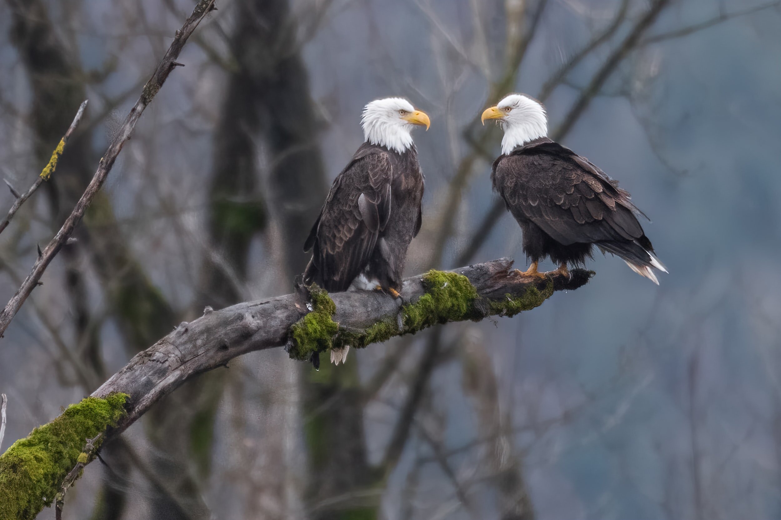
Using Giant Floor Maps to Understand Bald Eagle Populations - Updated 2026

Click on the image above to open the lesson. It will open as a Google Doc.

Description: In this lesson, students will use the Oklahoma or North America Giant Floor Map to explore where bald eagles can be found, what the requirements are for a healthy habitat, and how their habitats are affected by human activity.

Grade level(s): Middle
Standards: OAS, GFL
Produced By: Becca Palczynsky

Using the Asia Giant Map to Understand Light Pollution - Updated 2026

Click on the image above to open the lesson. It will open in the Google Drive.

Description: This lesson is designed to use the Giant Traveling Map of Asia to help students contextualize effects of light pollution in current events and upon migratory birds. These lesson materials are developed in support of OKAGE’s Geo-Inquiry project efforts.

Grade level(s): Elementary, Middle School, High School
Standards: OAS, GFL
Produced By: Grace Gierach