OAS

"Where Could I Bee" - Europe - Updated 2025

Illustration of Where Could I Bee character

Click on the image above to open the lesson. It will open as a Google Doc.

Description: This activity contains approximately 80 riddles about countries in Europe. These may be used as bell ringers, in conjunction with the Giant Map of Europe, or to enrich other activities. Below please find a sample riddle from this packet.

Where I am now
Is too cold for a bee
They call it Greenland
But it doesn’t look that color to me
The question I’m asking
You should learn this in school
Is “What country claims Greenland
Under its rule?”

Download the packet and view Page 21 for the answer!

Grade level(s): Middle School, High School
Standards: OAS
Produced By: Richard Tuberville

Exploring Oklahoma’s Cities on the Giant Map - Updated 2025

Click on the image above to open the lesson. It will open as a Google Doc.

Description: This activity is designed to help students identify some of Oklahoma’s major cities on the map. Students will be introduced to coordinates and will use them to identify these locations. By exploring on the Giant Map, students will also become more familiar with cities across Oklahoma while growing their perspective of the world around them.

Grade level(s): Elementary
Standards: OAS, GFL
Produced By: Cheryl Ivester

How has COVID-19 Impacted National Parks in the United States? - Updated 2025

Click on the image above to open the lesson. It will open as a Google Doc.

Description: Students will investigate the impacts COVID-19 has had upon public lands with a particular focus on national parks in the United States. In order to examine these impacts, students will collect data on COVID-19 cases and national park visitation around the US. The Giant Map of North America will be used to illustrate how national park visitation has changed in specific locations since the onset of the COVID-19 pandemic and how this has influenced current park management practices and policies.

Grade level(s): Middle School
Standards: OAS, GFL
Produced By: Naomi Mayer

Using the Geo-Inquiry Process to Explore and Understand Black Mesa State Park - Updated 2025

Click on the image above to open the lesson. It will open as a Google Doc.

Description: For this lesson students will look at how COVID-19 has affected Black Mesa State Park. They will then learn how to use the National Geographic Geo-Inquiry process to explore the issues related to Black Mesa through a geographic lens. The students will then develop their own Geo-Inquiry questions so they can research how COVID-19 has affected this state park. After they have gathered this information they will then go to Black Mesa State Park and meet with the Park Manager so students may ask the questions that they have formulated and for the Park Manager to show the students the physical effects that COVID-19 has had on Black Mesa State Park due to the influx of visitors. Upon completion of the in-class and field research components, students will present their findings to classmates and/or publicize their results to be accessed by stakeholders.

Grade level(s): Middle School
Standards: OAS, GFL
Produced By: Naomi Mayer

Stability in our Ecosystems: A Closer Look at the Impacts of Preservation and Conservation - Updated 2025

Click on the image above to open the lesson. It will open as a Google Doc.

Description: This unit is designed to allow students to take a closer look at a local ecosystem and compare and contrast the benefits of preservation and conservation. Students will be able to define conservation and preservation and explain the impacts of each on their local ecosystem of choice. Our hope is to empower learners to understand the distinct impacts of conservation and preservation. 

Furthermore, students can interact with a local environment, complete a hands-on learning experience, then compare what they have learned to other environments at the regional or global scale. 

Students will develop their own preservation and/or conservation plan for this local ecosystem while focusing on the ecological, economic, and political impact of this plan.

Grade level(s): Elementary School, Middle School
Standards: OAS, GFL
Produced By: Amber DeWinter

Geography in Novel Studies - Updated 2025

Click on the image above to open the lesson. It will open in the Google Drive.

Description: Which works of literature have you shared with students that you believe had a powerful effect on their thinking on a social studies issue? The materials included here are designed to provide ideas about the ways in which geography can be used to help understand the place-specific context of elementary-level novels and works of literature.

Grade level(s): Elementary School
Standards: OAS, GFL
Produced By: Taylor Woodard

Understanding Urbanization Using the North America Giant Map - Updated 2025

Click on the image above to open the lesson. It will open as a Google Doc.

Description: Students will understand the terms: urban, suburban, rural, urbanization, and megacity. Students will understand what leads people to move to urban areas and the problems this may lead to.

Grade level(s): Middle School
Standards: OAS, GFL
Produced By: Angela DeLong & Kim Richter

Canada Scavenger Hunt on the North America Giant Map - Updated 2025

Click on the image above to open the lesson. It will open in the Google Drive.

Description: This activity is designed to help students identify some of Canada’s physical features, cultural areas, major cities etc. on the map.

Grade level(s): Elementary School, Middle School
Standards: OAS, GFL
Produced By: Angela DeLong & Kim Richter

Using Geography to Understand Math and Statistics in the Modern World - Updated 2025

Click on the image above to open the lesson. It will open in the Google Drive.

Description: Explore complex geographic topics and concepts such as population distribution, economic geography, and public health on an elementary level using the Oklahoma Academic Standards for English Language Arts and the Oklahoma Academic Standards for Mathematics. Students will read the book, “If the World Were 100 People” by Jackie McCann and will use statistical literacy skills to research global statistics independently or with a group to create their own book including the information they found, visual representations of the information, and illustrations.

Grade level(s): Elementary School
Standards: OAS, GFL
Produced By: J. Scott Greene & Becca Palczynsky

I’m on the Top of the World Looking Down on Creation: Using the Oklahoma Giant Map to Enhance the Geo-Inquiry Process - Updated 2025

Click on the image above to download the lesson.

Click on the image above to open the lesson. It will open as a Google Doc.

Description: The class will examine the Tulsa Race Massacre and develop a relevant Geo-Inquiry question together which is centered around the impacts of this historical event. The Geo-Inquiry process leads students to think through complexities of the world and make connections that empower them to change their communities. After a question is developed, students will be divided into teams in order to create a division of tasks - e.g., -Data Collection, Visualization, Story-Telling, etc.

Watch the student video here, and watch the teacher video here!

Grade level(s): Middle School
Standards: OAS, GFL
Produced By: Zena Lewis

Lights, Camera, Action! - Updated 2025

Click on the image above to download the lesson.

Click on the image above to open the lesson. It will open as a Google Doc.

Description: The class will examine the Tulsa Race Massacre and develop a relevant Geo-Inquiry question together which is centered around the impacts of this historical event. The Geo-Inquiry process leads students to think through complexities of the world and make connections that empower them to change their communities. After a question is developed, students will be divided into teams in order to create a division of tasks - e.g., -Data Collection, Visualization, Story-Telling, etc.

Watch the student video here, and watch the teacher video here!

Grade level(s): Middle School
Standards: OAS, GFL
Produced By: Zena Lewis

Mapping STEM in Oklahoma - Giant Map Edition - Updated 2025

Click on the image above to download the lesson. This lesson will open in a Google Drive folder instead of a zipped file due to its size.

Click on the image above to open the lesson. It will open as a Google Doc.

Description: The purpose of this lesson is to allow students to explore the connection between Geography and other curriculum areas by utilizing the OKAGE Giant Map Program. Students will identify key geographic features and landmarks on the Giant Map then make connections between these features and other curriculum areas. 

Grade level(s): Middle School, High School
Standards: OAS, GFL
Produced By: Amber DeWinter

Wichita Mountains Geo-Inquiry Project: A Closer Look at the Impacts of Preservation and Conservation - Updated 2025

Click on the image above to download the lesson. This lesson will open in a Google Drive folder instead of a zipped file due to its size.

Click on the image above to open the lesson. It will open as a Google Doc.

Description: This unit is designed to allow students to take a closer look at a local ecosystem and compare and contrast the benefits of preservation and conservation. Students will develop their own preservation and/or conservation plan for this local ecosystem while focusing on the ecological, economic, and political impact of this plan. Our hope is to empower learners to understand how government policy can drive both positive and negative outcomes. Furthermore, students can interact with a local environment, complete a hands-on learning experience, then compare what they learned to other environments at the regional or global scale.

Grade level(s): Middle School, High School
Standards: OAS, GFL
Produced By: Amber DeWinter

Using the Geo-Inquiry Process to Understand Wildland Urban Interface - Advanced Level - Updated 2025

Click on the image above to download the lesson. This lesson will open in a Google Drive folder instead of a zipped file due to its size.

Click on the image above to open the lesson. It will open in the Google Drive.

Description: Students will utilize the Geo-Inquiry process to understand the meaning, causes, effects, economic impacts, and environmental consequences of the Hochatown Wildland Urban Interface.

Grade level(s): High School
Standards: OAS, GFL
Produced By: LeaAnn Wyrick

Using the Geo-Inquiry Process to Understand Wildland Urban Interface - Intermediate Level - Updated 2025

Click on the image above to download the lesson. This lesson will open in a Google Drive folder instead of a zipped file due to its size.

Click on the image above to open the lesson. It will open in the Google Drive.

Description: Students will utilize the Geo-Inquiry process to understand the meaning, causes, effects, economic impacts, and environmental consequences of the Hochatown Wildland Urban Interface.

Grade level(s): Middle School
Standards: OAS, GFL
Produced By: LeaAnn Wyrick

Using Science, Math, Social Studies, English Language Arts, and Geography to Understand What Really Happened to the Grid During the Last Snowstorm - Updated 2025

Click on the image above to download the lesson. This lesson will open in a Google Drive folder instead of a zipped file due to its size.

Click on the image above to open the lesson. It will open in the Google Drive.

Description: Join the Oklahoma Alliance for Geographic Education and the State Department of Education for a professional development session titled “Using Science, Math, Social Studies, English Language Arts, and Geography to Understand What Really Happened to the Grid During the Last Snowstorm!”

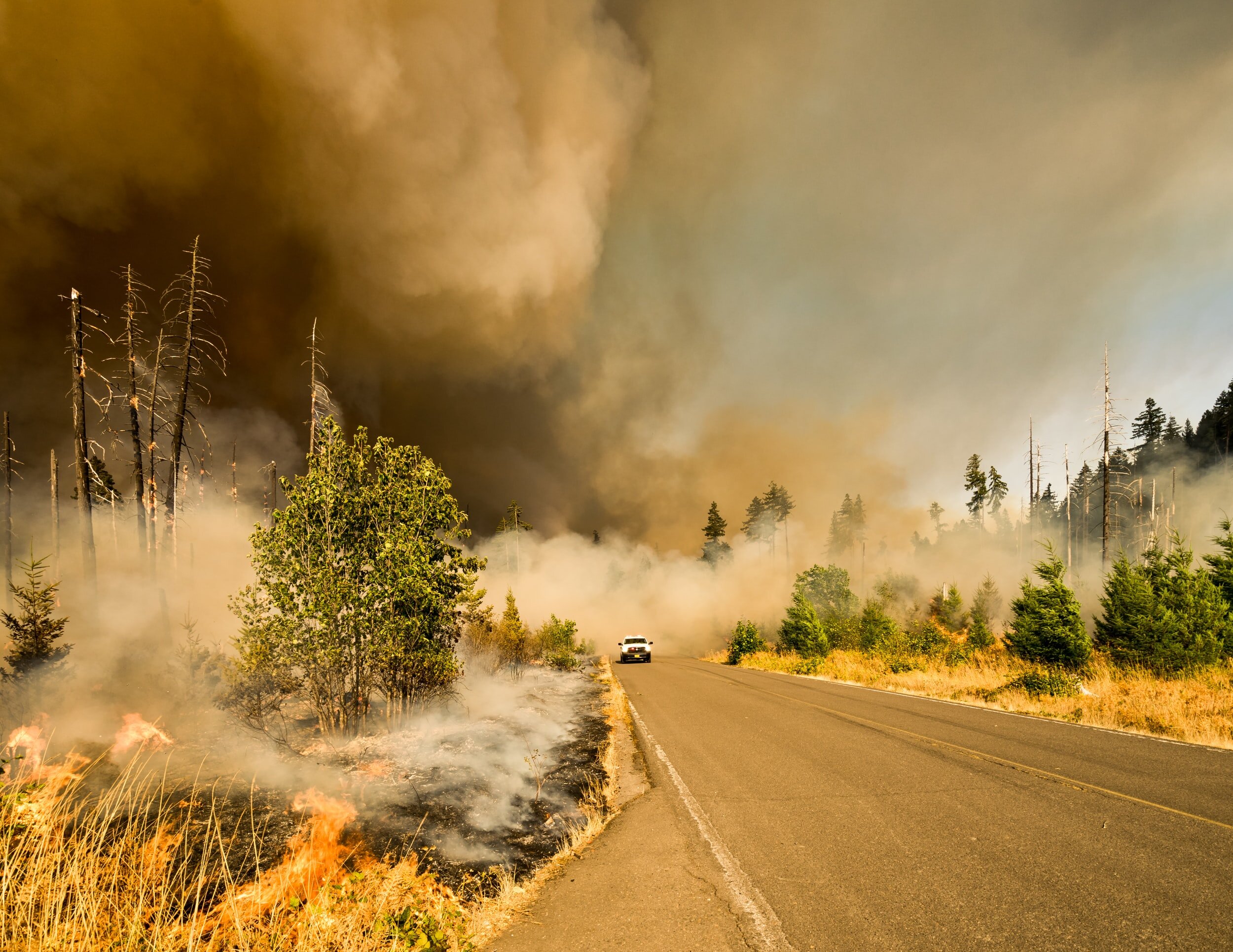
We know the snowstorm of February 2021 exposed the sensitivities of the grid systems. What happened in Texas can and does happen elsewhere, for various reasons. The public view and the industry view differ. So, the question for us is: "What really happened?" During this presentation, we will highlight how elements from all subject areas can be used to explain the causes of this incident as well as understand implications for future service interruptions due to extreme weather events.

Kylah McNabb is a renewable energy specialist, policy advisor, and educator. She currently is the Principal of Vesta Strategic Solutions, LLC, in OKC. Prior to that, Kylah served as a Renewable Energy Specialist, Oklahoma Department of Commerce, 2008-2017, and as an Energy Policy Advisor, Oklahoma Secretary of Energy & Environment, 2016-2017. Kylah will share her unique insights and data regarding the recent events. Her perspective will not only include what did happen but also, what did not happen!

Watch the recording of the session here.

Grade level(s): Elementary, Middle School, High School
Standards: OAS
Produced By: Kylah McNabb

Exploring the Geography of Oklahoma with the State Geography Steward - Updated 2025

Click on the image above to download the lesson. This lesson will open in a Google Drive folder instead of a zipped file due to its size.

Click on the image above to open the lesson. It will open in the Google Drive.

Description: Join the Oklahoma Alliance for Geographic Education, Oklahoma State University, and the State Department of Education for a session on Oklahoma's geography. Steve Stadler, Ph.D. from the Oklahoma State University Department of Geography will be discussing wind power and other sources of renewable energy as an illustration of Oklahoma's unique physical and human characteristics.

Watch the recording of the session here.

Grade level(s): Middle School
Standards: OAS, GFL
Produced By: Steve Stadler, Ph.D.

Going Viral: Exploring the Spread of Democracy and Authoritarianism - Updated 2025

Click on the image above to download the lesson. This lesson will open in a Google Drive folder instead of a zipped file due to its size.

Click on the image above to open the lesson. It will open as in the Google Drive.

Description: In this lesson students will analyze the rise of two government systems around the world which are considered polar opposites: democracy and authoritarianism.

Watch the recording of this session here.

Grade level(s): Middle School
Standards: OAS, GFL
Produced By: Cody Sivertsen

Jerusalem: A Center for Peace or Conflict? 2021 Update - Updated 2025

Click on the image above to download the lesson.

Click on the image above to open the lesson. It will open as a Google Doc.

Description: Jerusalem, the capital of Israel, is considered a holy city by three religions: Judaism, Islam and Christianity. For centuries it has also been a spiritual center. Just like the dove, it is associated with peace and its name is even thought to be derived from the phrase “of peace.” Students will identify Jerusalem’s religious significance to Judaism, Christianity, and Islam. They will also learn about the history of the Israeli-Palestinian conflict and explore what it is like for people on both sides of the conflict.

Watch the recording of this session here.

Grade level(s): Middle School, High School
Standards: OAS, GFL
Produced By: Teresa Potter

OKAGE Online Professional Development Session 6: Understanding Disasters from a Local, Regional, and Global Perspective - Updated 2025

Click on the image above to download the lesson. This lesson will open in a Google Drive folder instead of a zipped file due to its size.

Click on the image above to open the lesson. It will open in the Google Drive.

Description: This lesson covers disaster preparedness and recovery and how these strategies differ across local, regional, and global scales. Impacts upon disaster response as they relate to existing socioeconomic inequities along with complicating factors due to COVID-19 will also be discussed. Additionally, the issue of climate change will be explored as it relates to disaster frequency and intensity.

Watch the recording of this session here.

Grade level(s): Middle School, High School
Standards: OAS, GFL
Produced By: Heather Braucher, and Dr. Mark Shafer with the Southern Climate Impacts Planning Program